

Explore Our Services
Explore our range of services designed to help you move forward with confidence, wherever you're headed next.
What We Offer
We offer a range of services to meet every client’s needs. Have something you don’t see below? Reach out, and we can see what we can make happen.
-
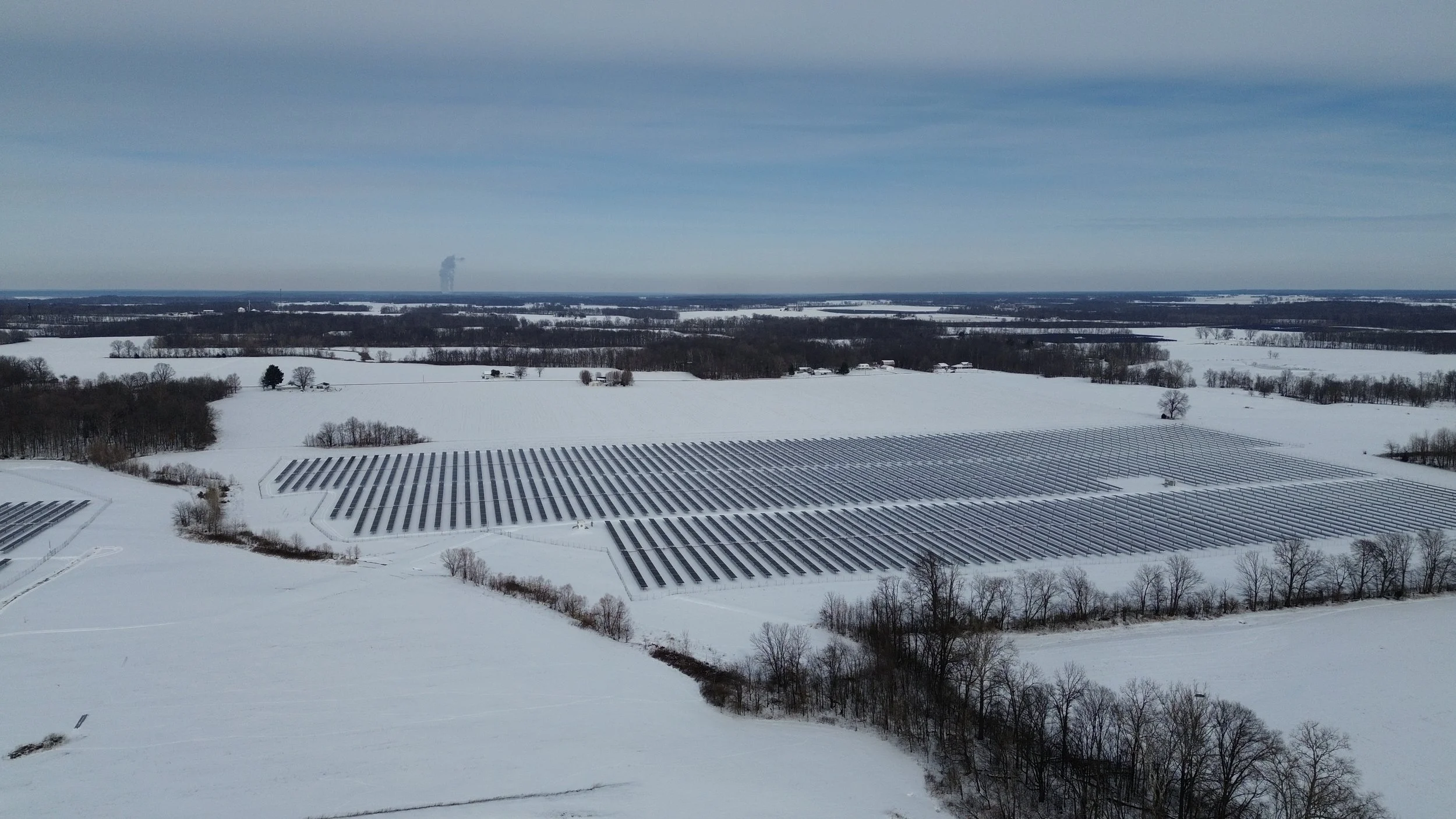
Aerial thermal and visual inspections to identify underperforming modules, hot spots, stringing issues, and panel damage post weather event - helping owners and operations teams catch issues before it impacts output
-
Safe, non-intrusive aerial views of substations and transmission infrastructure - reducing the need for personnel to access energized equipment or hard to reach equipment
-
High resolution mapping and orthomosaic imagery for construction progress tracking, as-built documentation. and site condition reports throughout a project’s lifecycle
-
Detailed exterior inspections of battery energy storage enclosures, identifying signs of thermal stress, physical damage, or maintenance issues that ground level inspections can miss
-
Aerial imaging to assess crop health, identify irrigation issues, stress patterns, and problem areas across fields - giving farmers an early, big picture view of what’s happening on the ground
-
Aerial surveys to evaluate tree health, canopy density, storm or pest damage, and land coverage - useful for landowners, timber management, and land value assessment
Our Process
Flight Plan
Inspection needs confirmed, Site boundaries established, airspace checked, payload confirmed before the truck leaves the shop
Capture
Drone deployed - RGB, thermal, or both- flown to the resolution of the client’s needs - concerns noted to O&M team and management for fast easy fixes
Process
Imagery run through DroneDeploy or Pix4Dmapper for stitching, mapping, and anomaly detection
Report
Findings delivered as mapped, prioritized report, built for whoever acts next